You can see the results. No other region in Canada has been the focus of such long-term, persistent and strategic planning. -- NCC website c.2005
If their website is any indication (it is), the NCC endlessly amuses itself by dreaming up concepts. Case in point, "Cultural Landscapes," which an NCC workshop breathlessly described as "geographical terrains which exhibit characteristics or which represent the values of a society as a result of human interaction with the environment." Of course, where the NCC is involved, landscapes can quickly become wastelands. So, here they are: geographical terrains that exhibit characteristics or that represent the values of the NCC as a result of their interaction with the environment. Welcome to the NCC Wastelands!
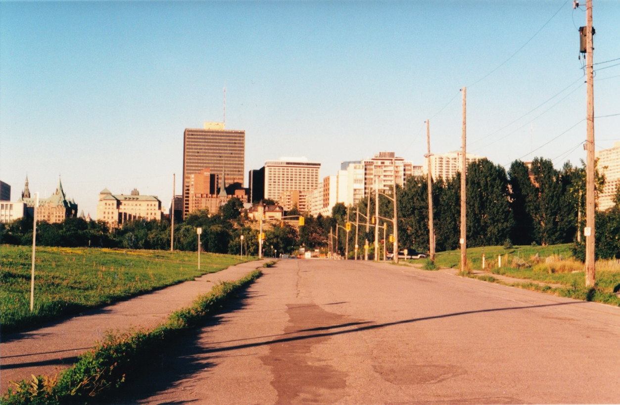
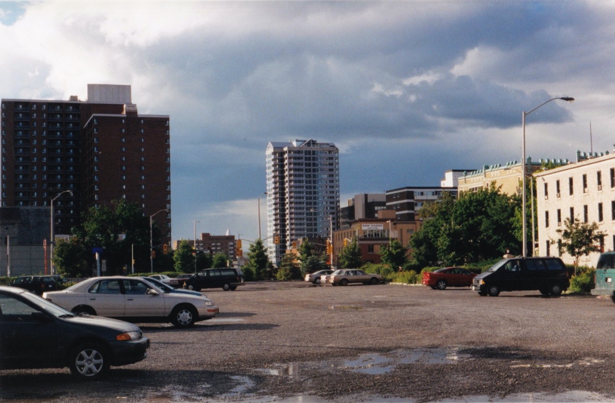
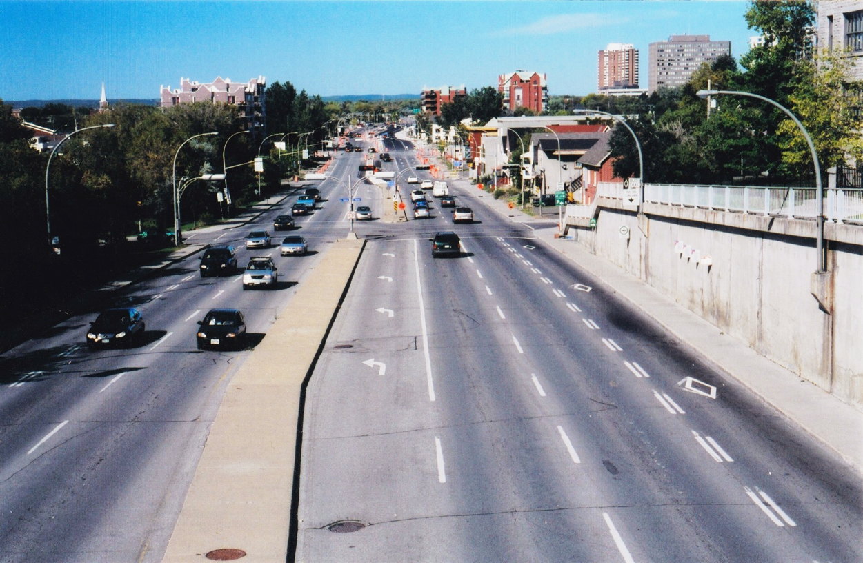
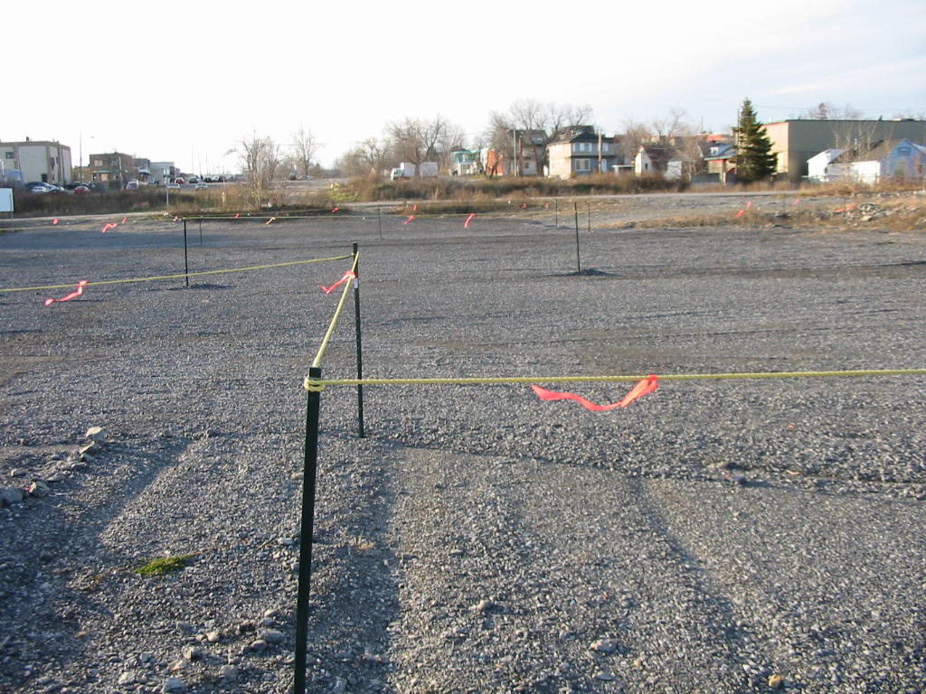
LeBreton Flats

No Exit: Looking south on Broad Street. Weeds work to take back the only reminders that this deserted downtown land was a real neighbourhood before the NCC expropriated and demolished it - 40 years before this photo was taken.

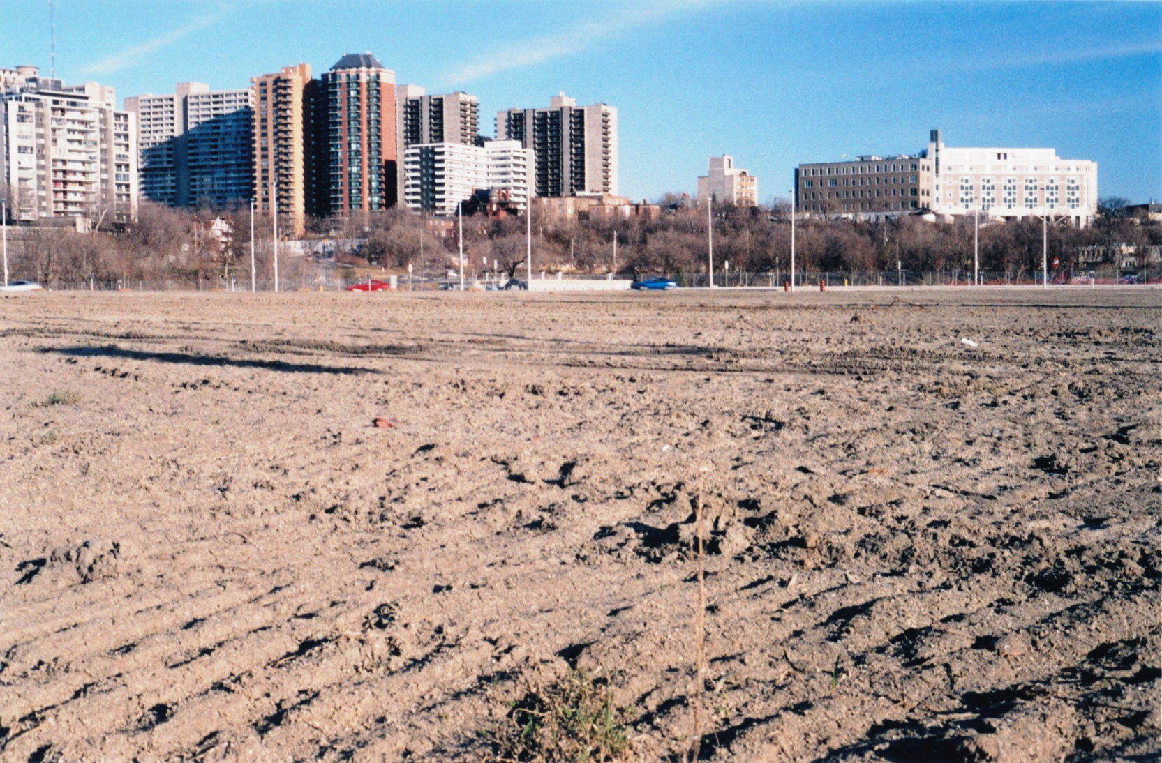

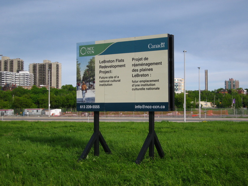
Future home of Shakespeare In the Park. Who doesn't love a cultural institution, am I right?
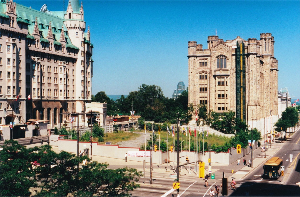
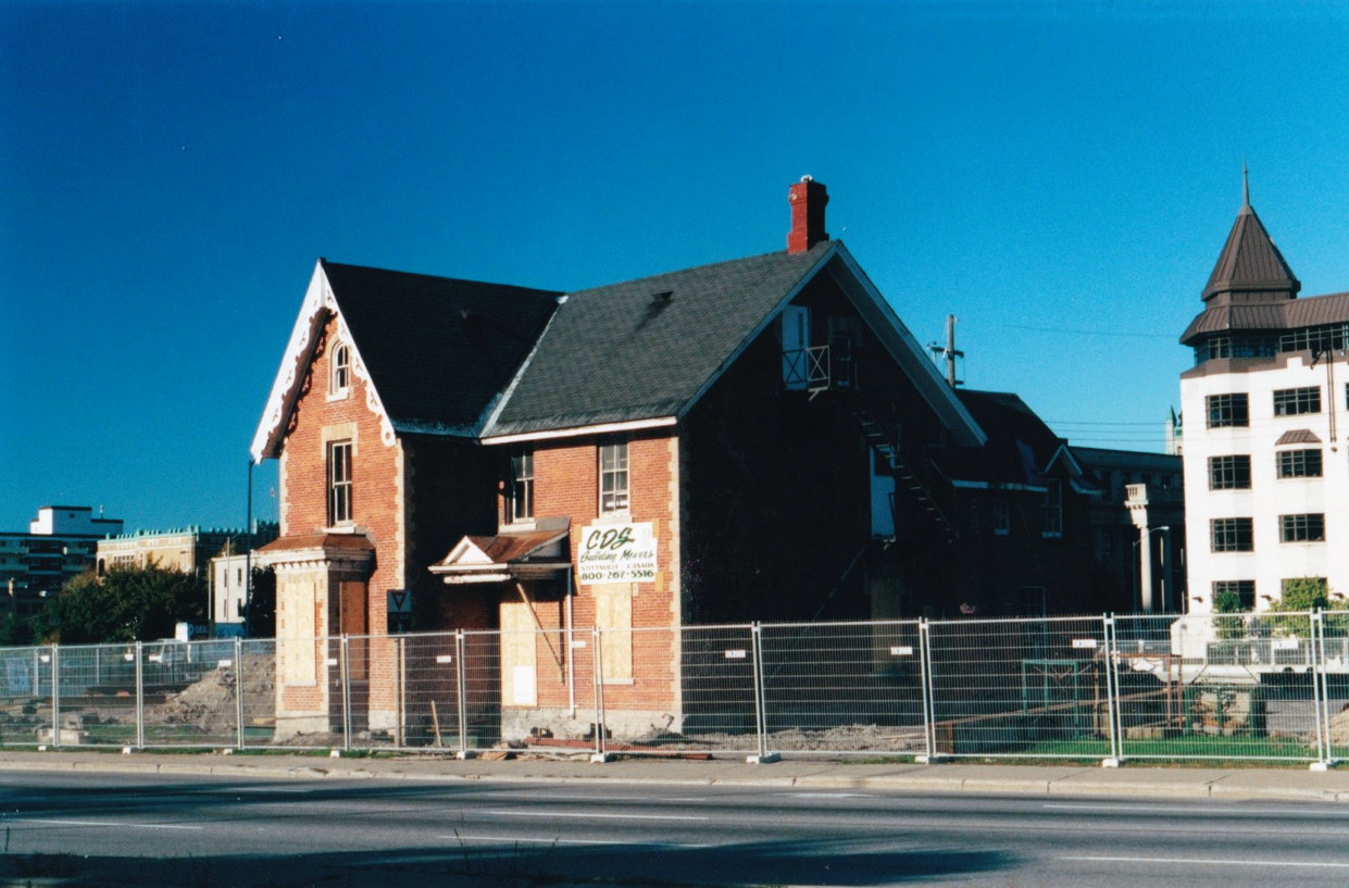
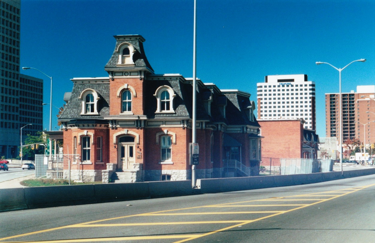
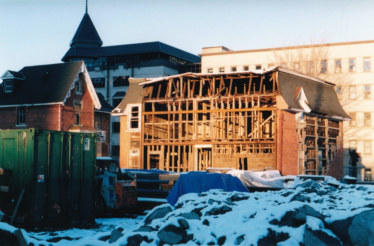
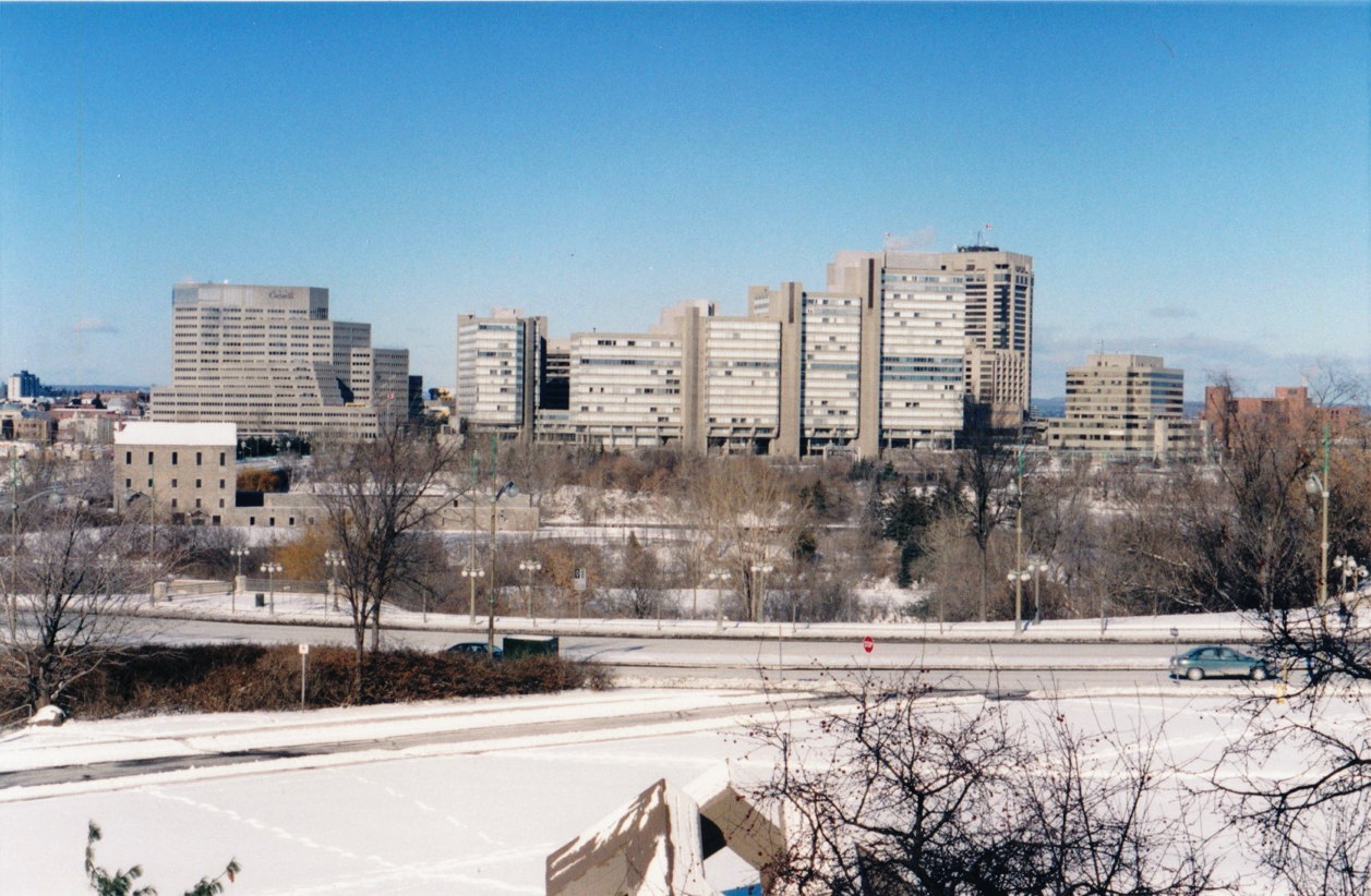
The Daly Site

Surrounded by landmarks, including the Chateau Laurier and the former
Ottawa train station, weeds grow inside a crude boarded fence where the Daly building once stood. The building, shamefully neglected for 20 years, was demolished without any plan, and then further NCC incompetence ensured that the valuable parcel of land remained vacant for more than 10 years.
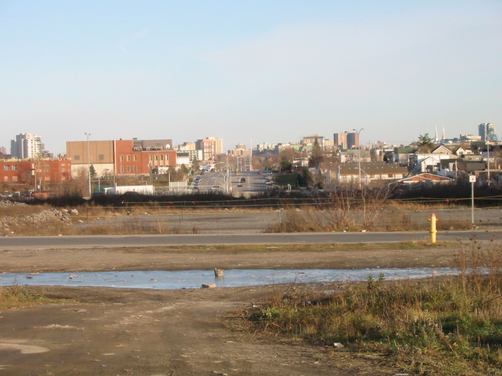
The Nicholas-Waller Wedge
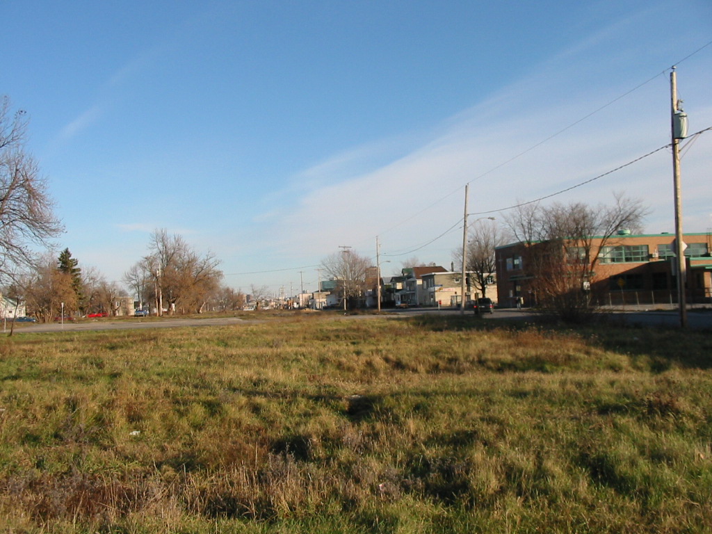
A humble car park dominates the view looking north from Laurier Street. The proximity of the Nicholas expressway, cutting Sandy Hill off from the canal and the rest of the city, resulted in an area that for decades remained hostile to development.
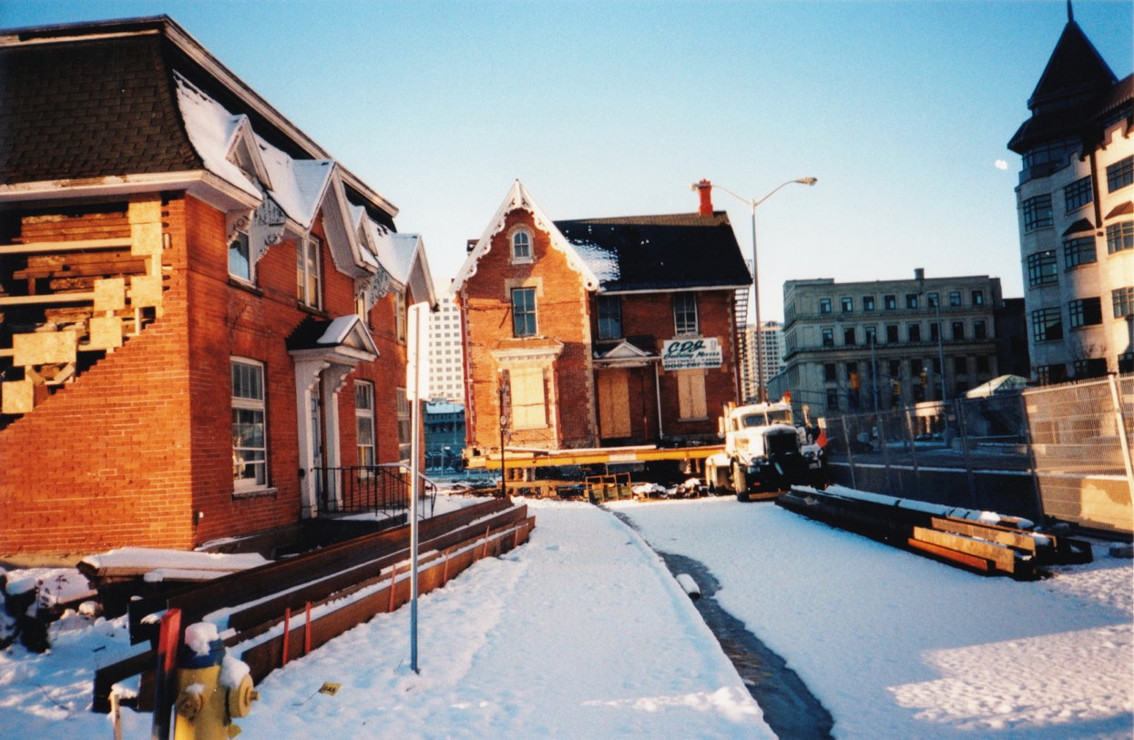
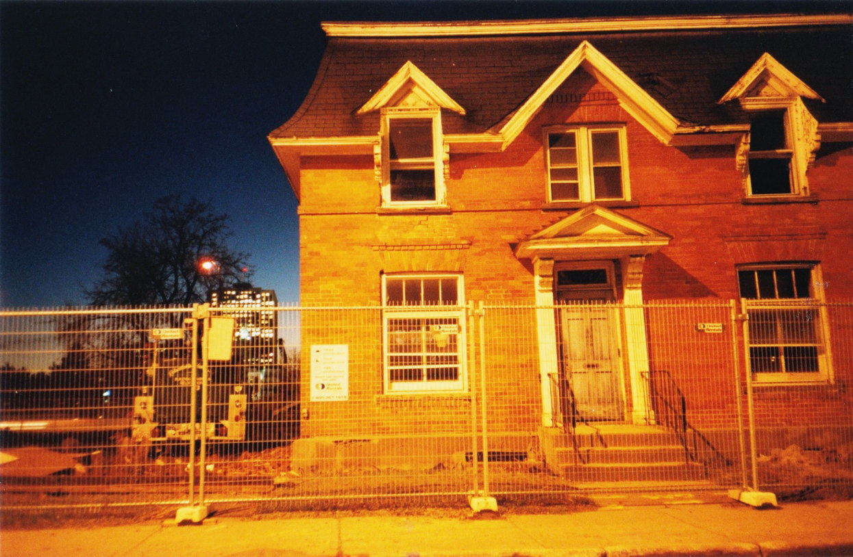
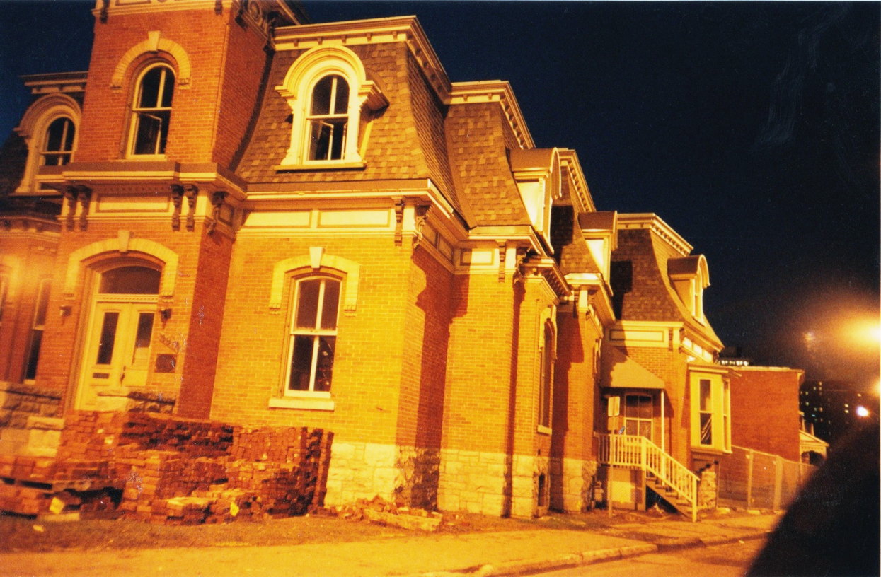
South of Laurier, heritage homes beside the Nicholas Expressway, subject to years of dereliction, await an uncertain fate. The NCC purchased these properties in the 70s and then left them to rot.

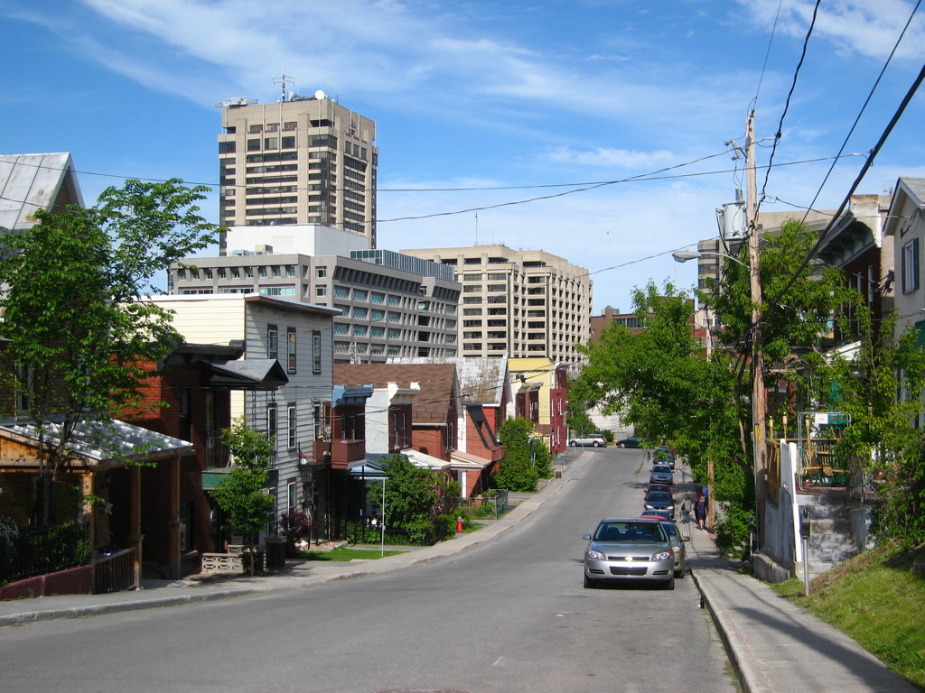
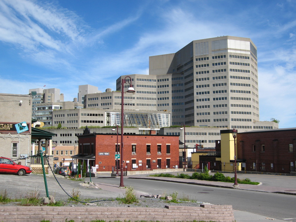
Place du Portage and Maisonneuve Blvd
The NCC expropriated large chunks of Hull to make way for Government offices, a failed mall, and Maisonneuve Boulevard, a six lane monstrosity cut through the middle of the city.
Laramee
The Laramee strip awaits construction of the McConnell-Laramee highway, which will connect Aylmer to Laurier Street (seen in the distance), bisecting Gatineau Park in the process. Expropriated in 1973, 30 years later this strip was still home to stagnant puddles and unsightly refuse.
The unused Laramee corridor cut through a residential neighbourhood in Hull for 30 years.
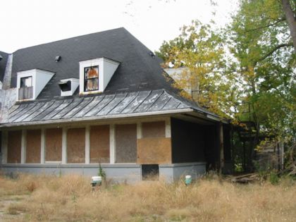
Bate Island

Champlain Bridge passes over Bate Island, where this former restaurant, since demolished, rotted in the care of the NCC.
When the NCC says "no other region in Canada has been the focus of such long-term, persistent and strategic planning," we believe them.